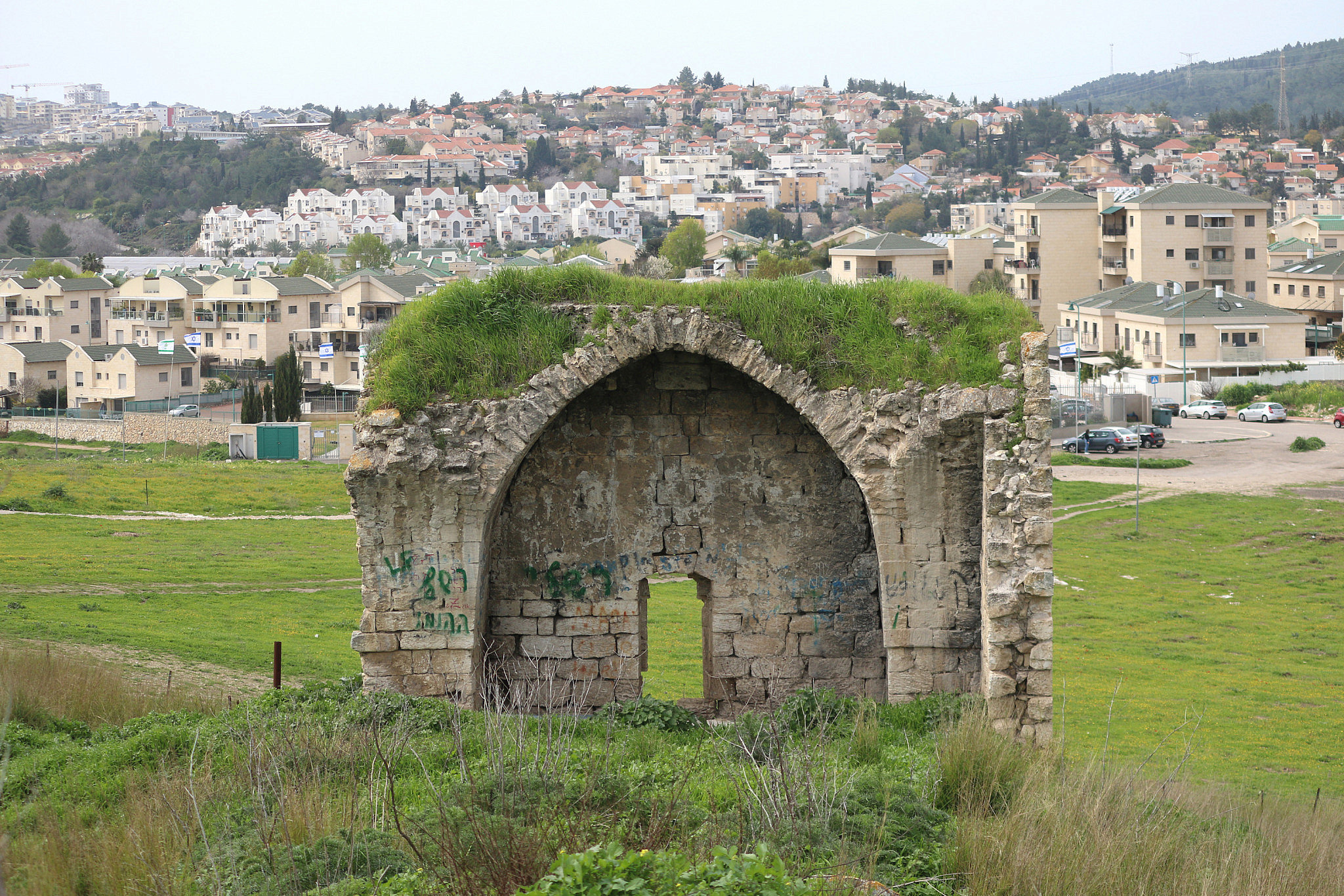
Over the past six months, I have dedicated much of my time to touring around and documenting the over 500 Palestinian villages across Mandatory Palestine that were depopulated during the Nakba in 1948 and subsequently destroyed by the Israeli state. The aim was both to educate myself and to bear witness to the scale of destruction caused to these communities as a result of the Zionist settler-colonial project.
It was a rare opportunity for someone like myself, who for the first time received a long-term permit from the Israeli military authorities. As a West Bank-based Palestinian with a Green ID, issued jointly by Israel’s Defense Ministry and the Palestinian Authority, I am typically allowed to travel only around parts of the West Bank, which makes up 18 percent of the country.
Witnessing first-hand what we Palestinians have been reading about all our lives has been an emotional experience. Within almost every Israeli town inside the Green Line, or at the very least next to them, lies a Palestinian village that was erased by Israel. Walking around the country, I have seen graveyards surrounded by electric fences, mosques that are used as animal barns, homes that were turned into artist villages, and many other forms of dispossession.
The scale of it is plain to see: we are a nation that has lost almost half of our villages to colonization, while around half of our population have become refugees.
The photos below should not be viewed as stories about the past — at least as long as Palestinians are forced to remain refugees while Jews from around the globe have the right to settle on their land and receive full Israeli citizenship; as long as forcible transfer and displacement still threatens tens of thousands of those Palestinians who survived the early stages of ethnic cleansing, from the West Bank to the Naqab to Jaffa and Haifa.
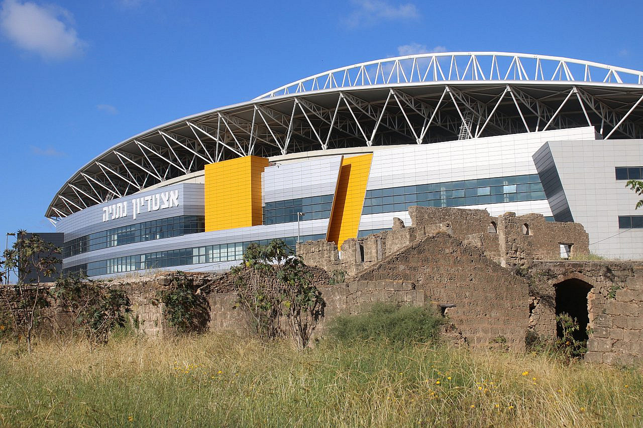
The remains of Byarat Hanun agricultural village. In the background, one can see the stadium of the city of Netanya. (Ahmad Al-Bazz)
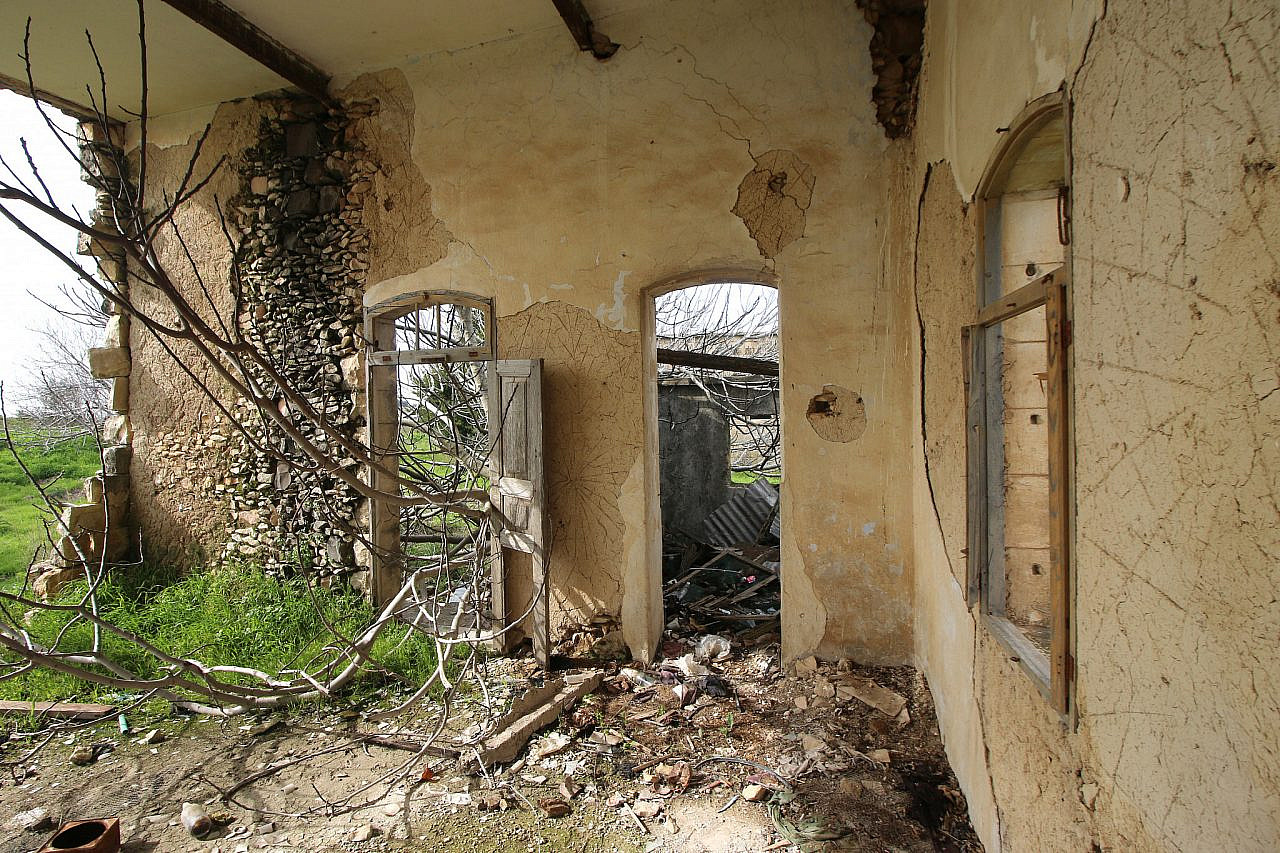
A house from the depopulated village of Deir al-Qasi in the Upper Galilee. (Ahmad Al-Bazz)
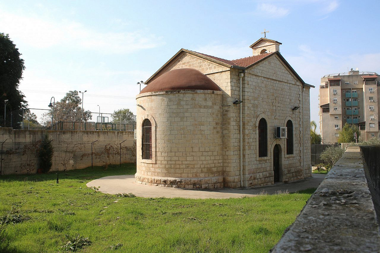
A Palestinian church seen in the center of the town of Migdal HaEmek in the Galilee. (Ahmad Al-Bazz)
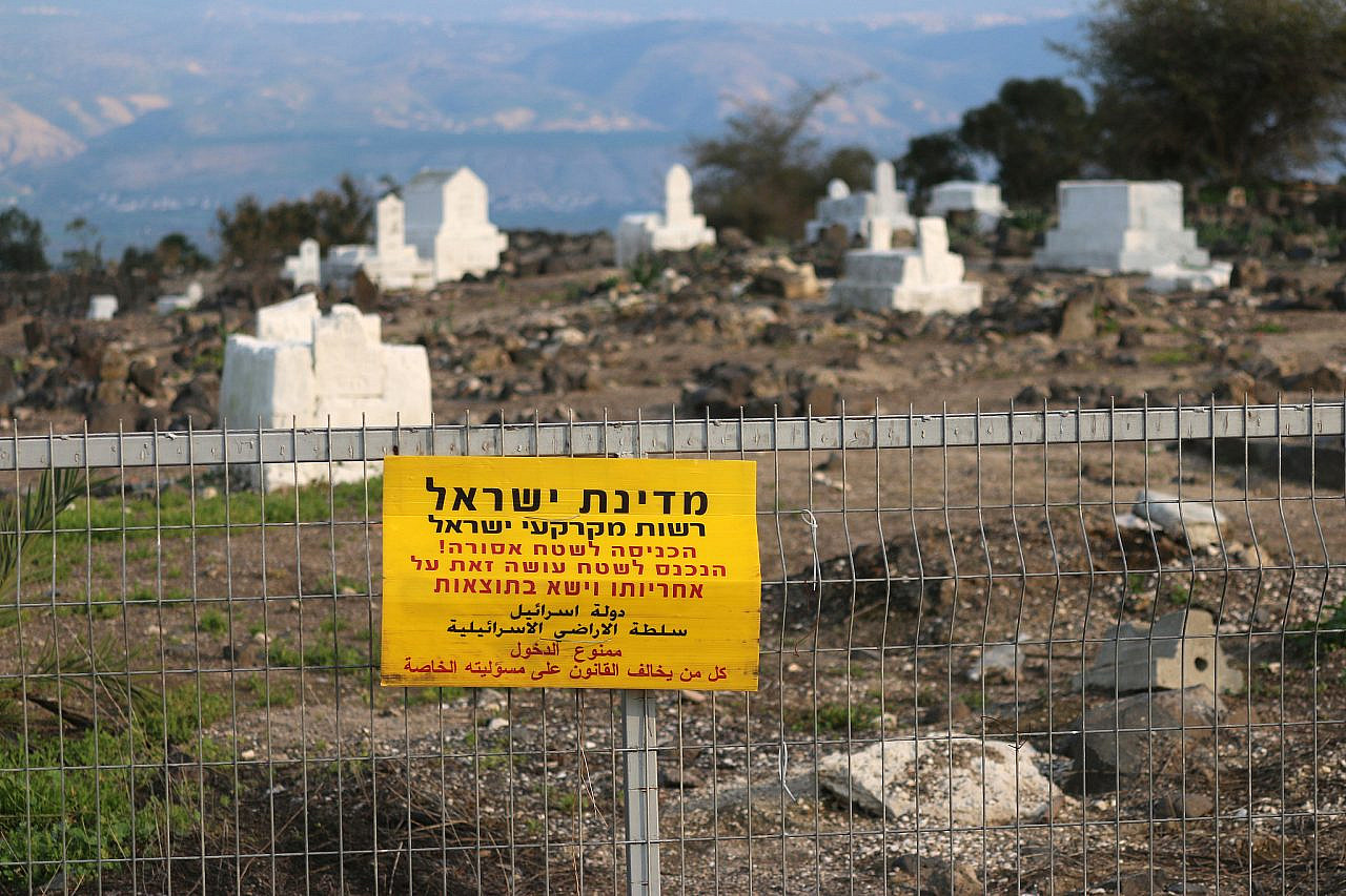
A Hebrew sign reads “Access is forbidden. Violate at your own risk” on a fence surrounding the graveyard of the village of Bisan, today known as Beit She’an, in the Jordan Valley. (Ahmad Al-Bazz)
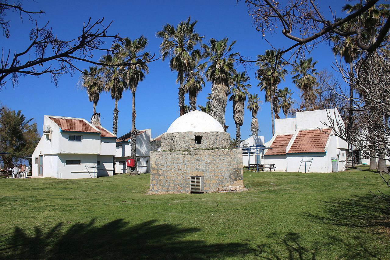
The remains of the village of Tantura, between the buildings of Kibbutz Nachsholim, south of Haifa. (Ahmad Al-Bazz)
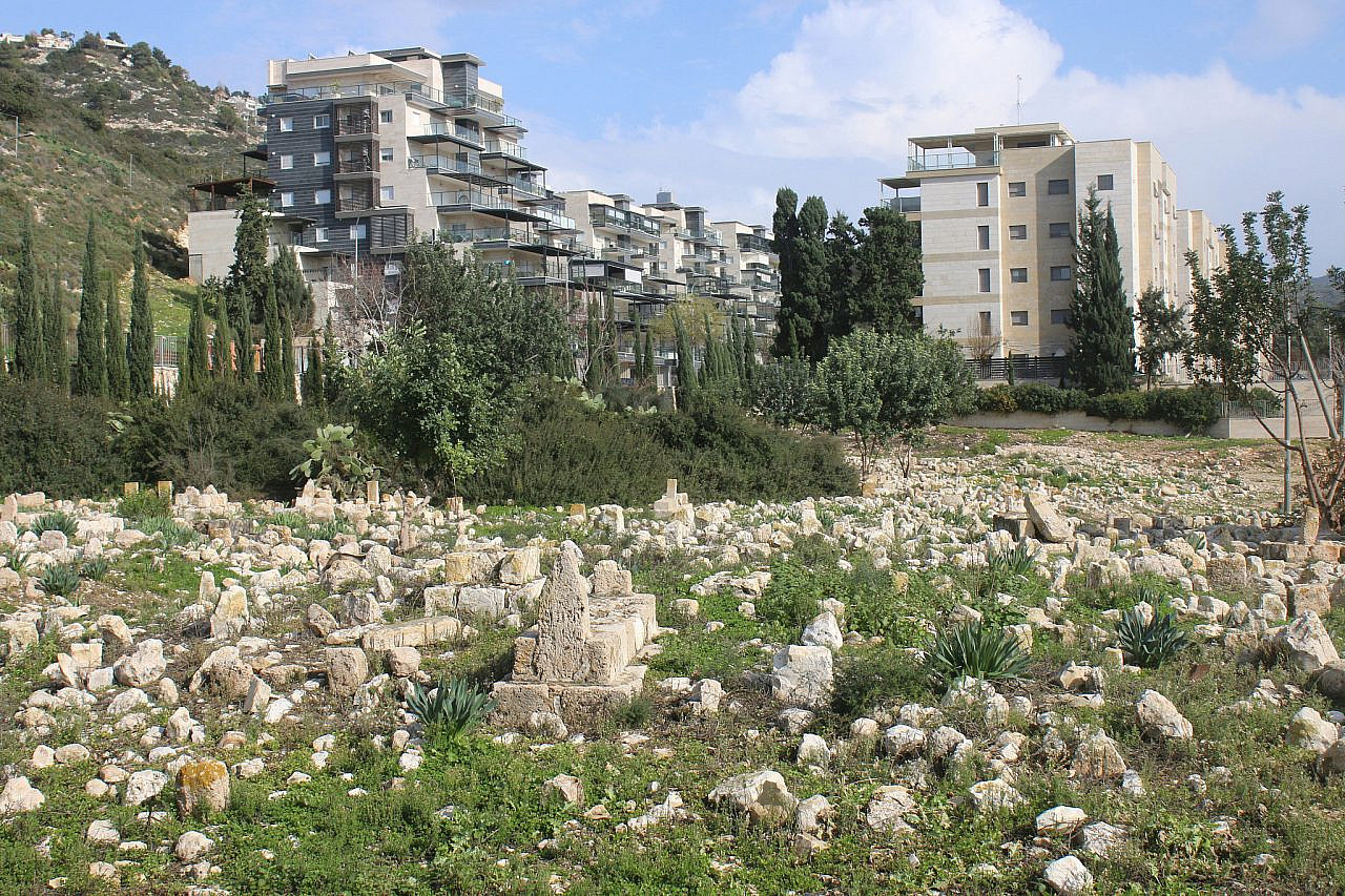
The buildings of Tirat HaCarmel overlook the Palestinian graveyard of the depopulated village of al-Tira, south of Haifa. (Ahmad Al-Bazz)
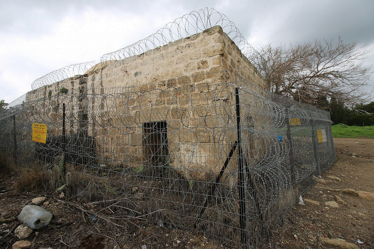
The fenced off maqam and mosque of the depopulated village of Sheikh Ibriq, east of Haifa. (Ahmad Al-Bazz)
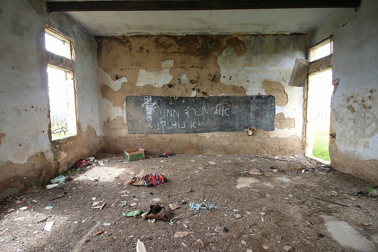
A classroom belonging to an elementary school in the depopulated village of al-Salihia, in the upper Galilee. (Ahmad Al-Bazz)
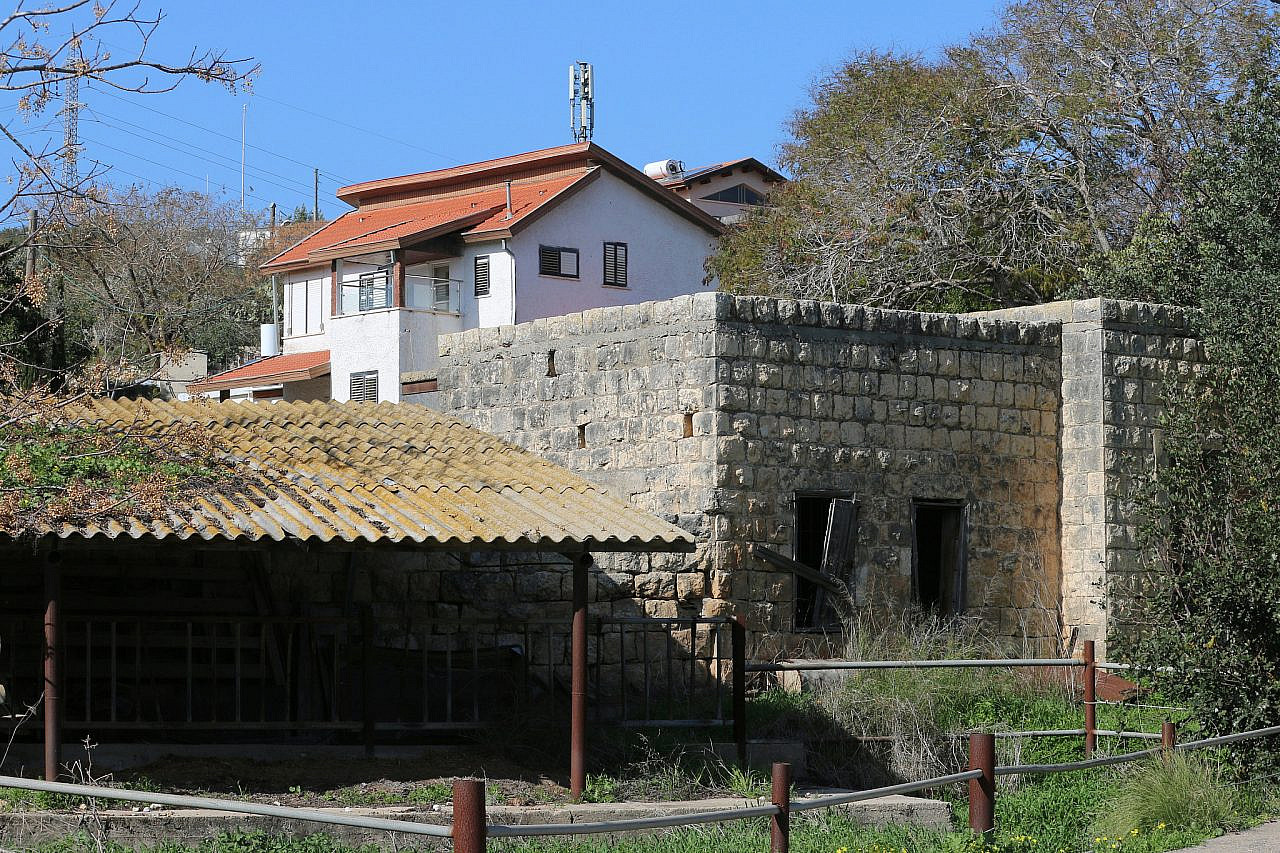
An empty Palestinian house is seen in the depopulated town of Ijzim, south of Haifa, where the Kerem Maharal moshav was built. Some of the Israeli residents of the moshav continue to live in renovated Palestinian homes to this day. (Ahmad Al-Bazz)
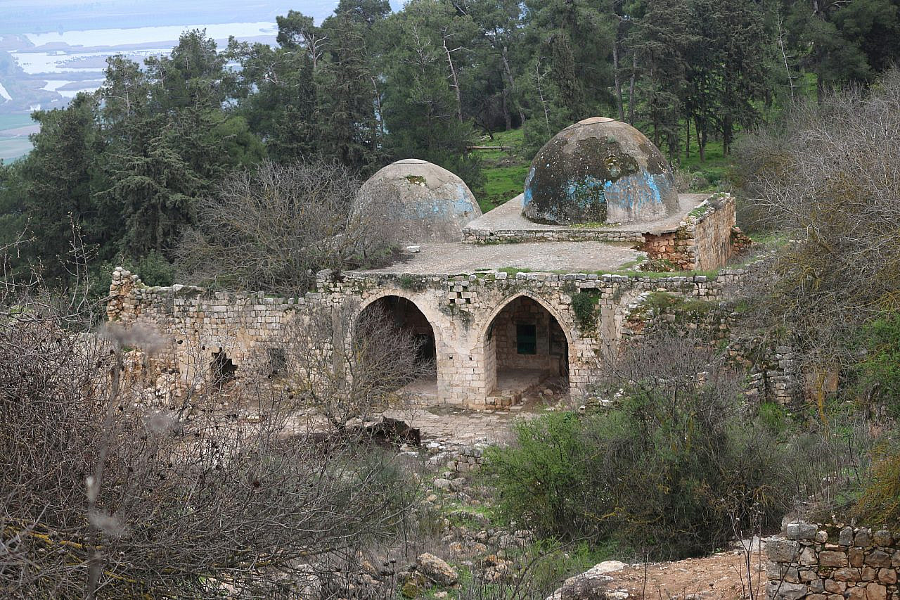
The maqam belonging to the depopulated village of Nabi Yusha, in the upper Galilee. (Ahmad Al-Bazz)
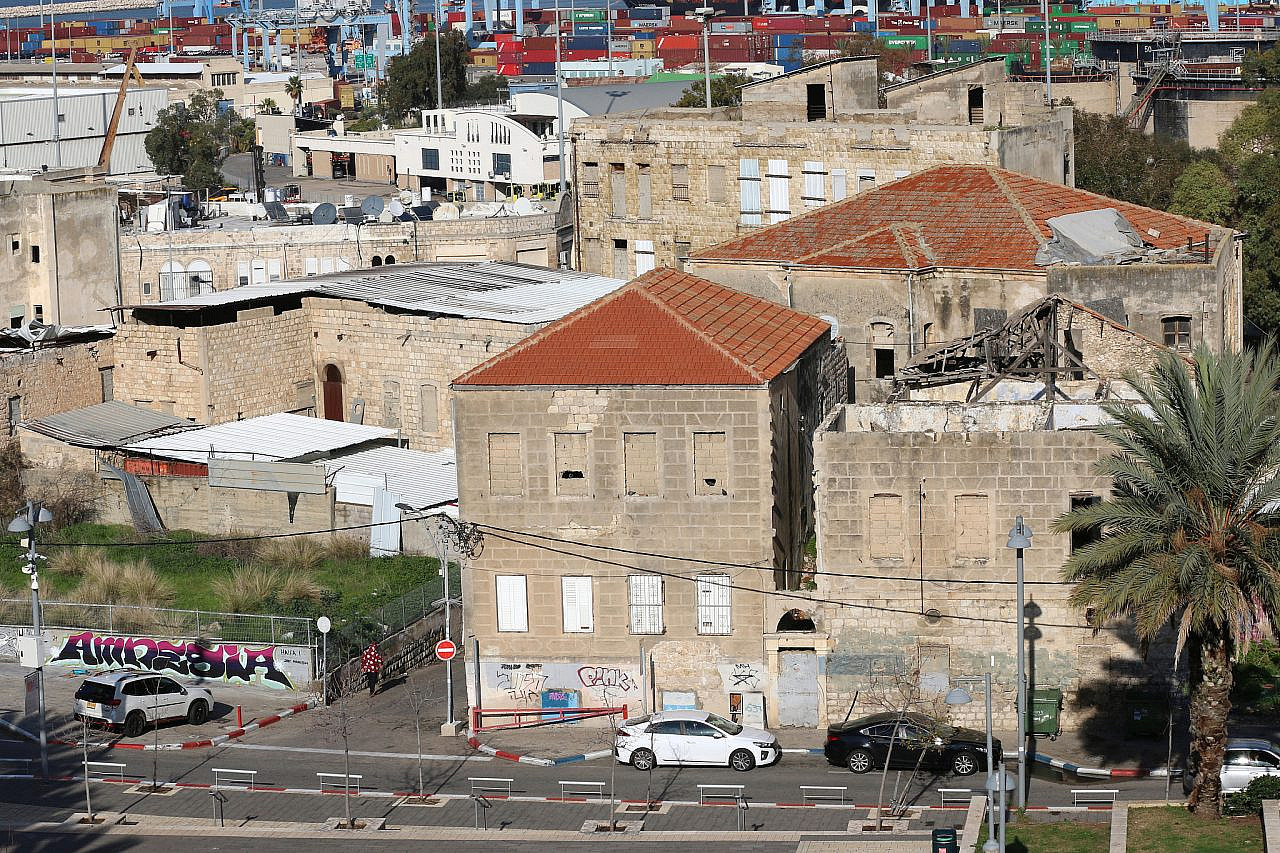
A depopulated Palestinian neighborhood is seen in central Haifa. After 1948, 95 percent of Haifa’s Palestinian residents were expelled or fled the city: out of around 73,000 Palestinians, only 3,000 managed to stay in the city. (Ahmad Al-Bazz)
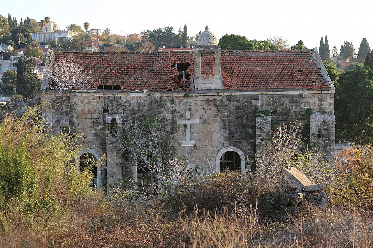
A damaged church is seen in the depopulated al-Bassa village, in the north. Most of its residents became refugees living in camps in Lebanon. (Ahmad Al-Bazz)
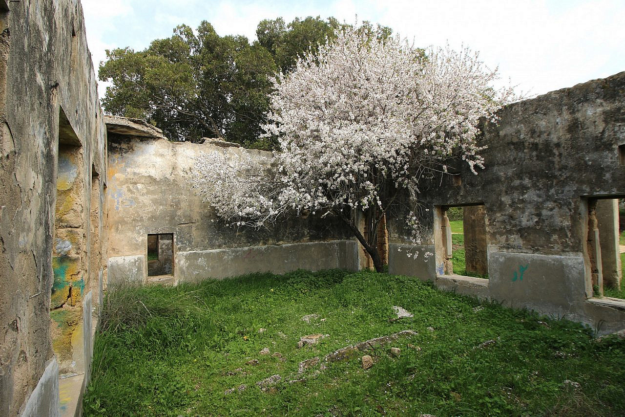
A classroom belonging to an elementary school in the depopulated school of Isdud, near the Israeli city of Ashdod, most whose residents are refugees in Gaza Strip. (Ahmad Al-Bazz)
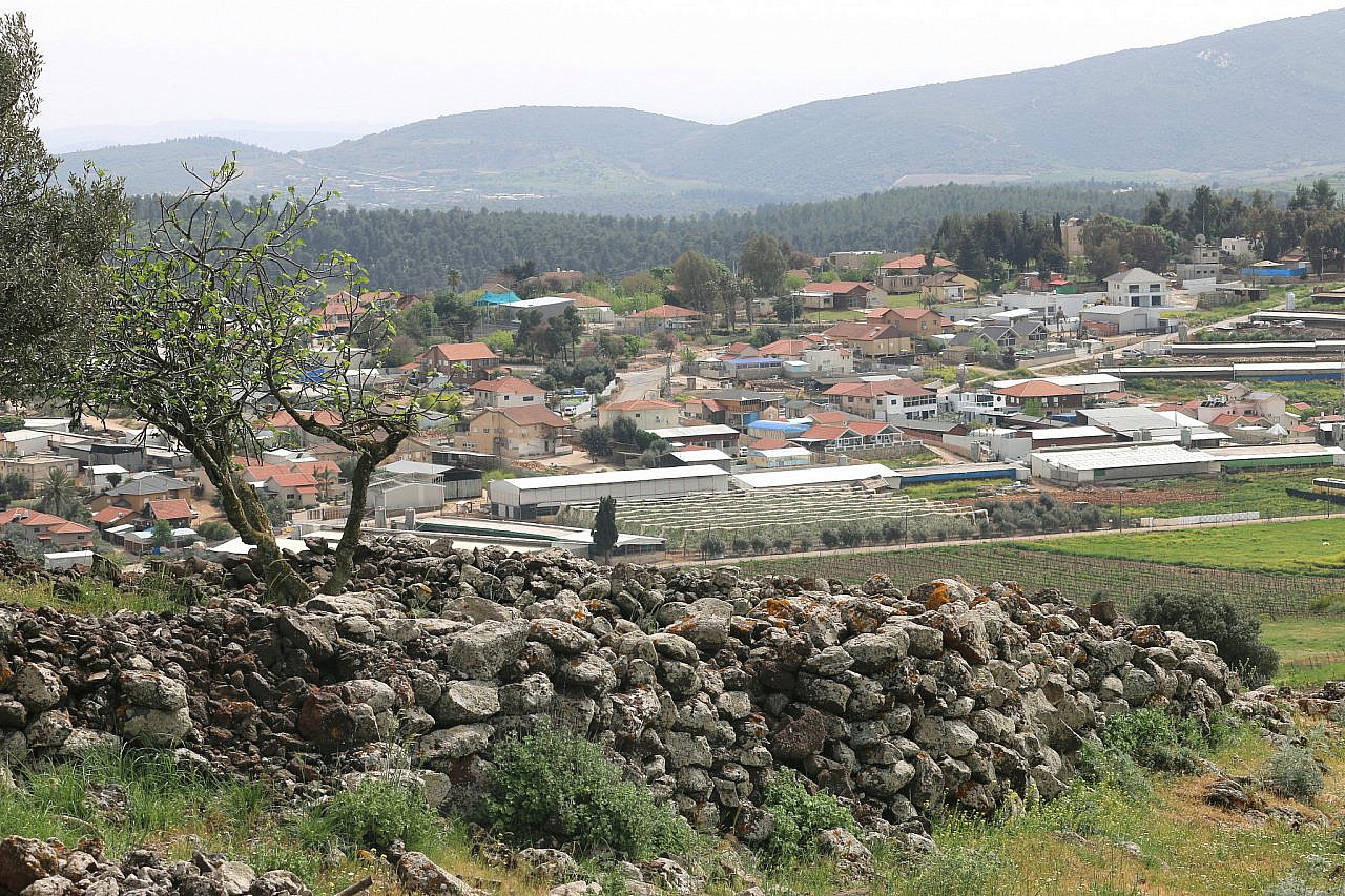
What remains of the depopulated Palestinian village of Dallata. (Ahmad Al-Bazz)
Subscribe to The Landline
+972's weekly newsletter


